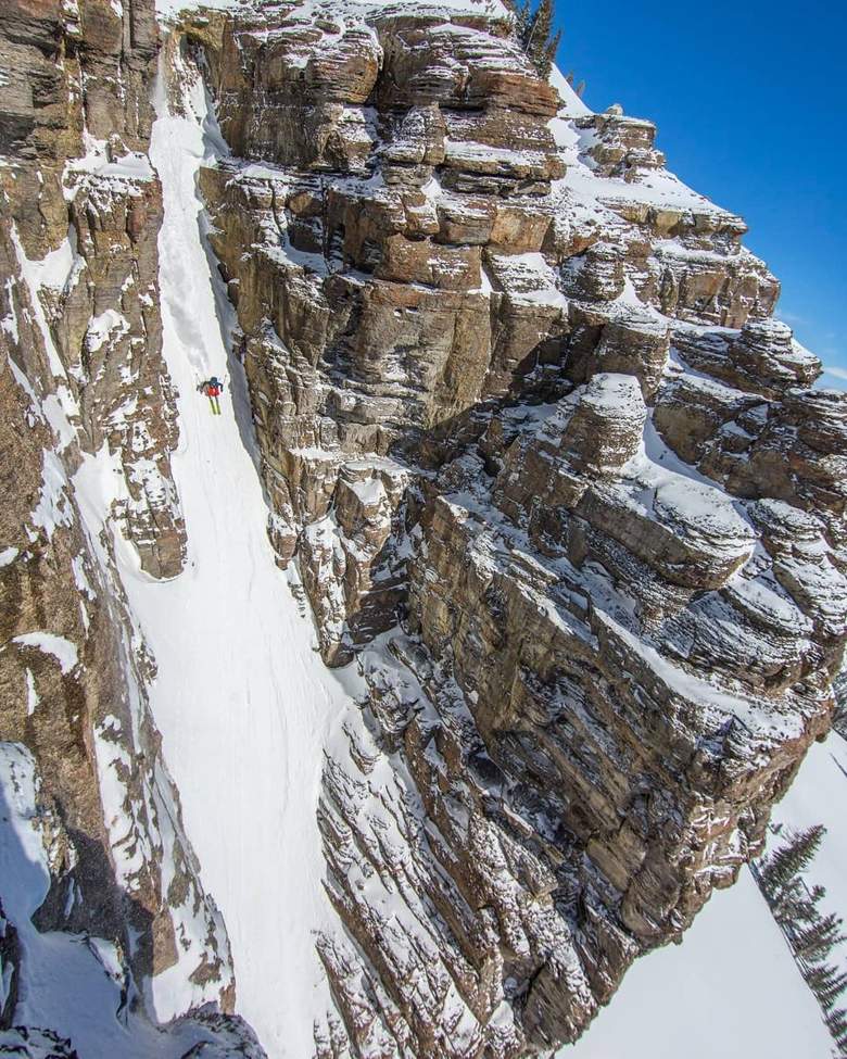

“I was such a dirtbag ski bum that I didn't own a car for 18 years. I just wanted to find the best snow and ski every day. SnowBrains Weather is the forecast I always wished I'd had, so I built it.”
Honestly, we built this because we chase snow all over North America and we needed a one-stop shop where we could find all the data to make the right decision on where to go: the forecast, the forecast discussion, the radar, the satellite, the freezing levels, cloud-cover percentages, all of it. All of it in one place.
General weather apps don't speak ski. They'll tell you it's "partly cloudy" the morning a foot of cold smoke is stacking up on the summit. The dedicated ski-forecast apps are better, but they hide the good stuff behind a subscription and ask you to trust a model you can't see.
We wanted something different: a forecast built on official, transparent data, that keeps the core free for everyone, and that's woven into a real community of skiers and riders who report what's actually happening on the hill. That's SnowBrains Weather.
Official data, not a black box
US forecasts come straight from the National Weather Service, and Canada from Environment Canada's model. No mystery blend and no marketing math. Just the same sources the pros use.
We check NWS and Environment Canada for new forecasts around the clock, so resort pages show the latest official numbers within minutes of their release, and the map and homepage refresh about every 15 minutes (about every 30 for Canadian resorts).
We show our receipts
Our Accuracy page tracks how our forecasts actually performed, resort by resort. We grade ourselves in public: every forecast is a prediction, and ours come with a track record.
Conditions from real skiers and riders
Members post on-the-ground conditions reports that show what the snow is really doing right now, and we moderate them to keep them trustworthy. Forecasts tell you what's coming; skiers and riders tell you what's here.
The SnowBrains newsroom
Storm breakdowns, season outlooks, and mountain stories from the SnowBrains crew, right alongside the forecast. The weather and the why, in one place.
Honest about bad news
When it's going to rain on your powder day, we say so, plainly. We'd rather tell you the truth than sell you false hope dressed up as a forecast.
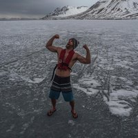
Made by skiers and riders
SnowBrains has ski-bummed and chased snow for 26 winters and grown into the world's largest independent ski-media outlet, trusted and quoted by The New York Times, The Wall Street Journal, and The Washington Post. This isn't a weather company that added skiing. It's skiers and riders who got serious about the weather.
Help every skier and rider make a better call about where and when to chase snow, with a forecast they can actually trust, built by the best in the world.
Honesty over hype
We show our accuracy, label our data sources, and call rain “rain.” Trust is the whole product.
Community first
Skiers and riders reporting for skiers and riders. The best beta on the mountain comes from the people already on it.
Independent
Optional Premium keeps us running and keeps us honest, so we answer to skiers and riders, not to whoever pays the most.
Free at the core
The map, the forecasts, and posting conditions stay free, forever. Premium adds spark; it never locks you out of the basics.
- U.S. forecasts, alerts and forecaster discussions: National Weather Service (NOAA).
- Canadian forecasts: Environment and Climate Change Canada, including its GEM model, with model data delivered by Open-Meteo.com (CC BY 4.0). Contains information licensed under the Open Government Licence – Canada.
- Snowpack and snow depth: USDA NRCS SNOTEL.
- Seasonal outlooks and El Niño updates: NOAA Climate Prediction Center.
- Radar and satellite: National Weather Service and NOAA GOES.
- Weather Stories: the graphics each local National Weather Service office posts.
- Resort-reported conditions: SnoCountry and MtnPowder, plus the resorts themselves.
- Maps: map tiles © Stadia Maps, map style © Stamen Design, © OpenMapTiles, map data © OpenStreetMap contributors. Backup map style © OpenTopoMap (CC-BY-SA).
- Elevation (the mountain outline on share cards): Terrain Tiles from Mapzen and Tilezen on AWS Open Data, built from these sources, including USGS 3DEP, SRTM, Canadian Digital Elevation Model (Natural Resources Canada, Open Government Licence – Canada), GMTED2010 and ETOPO1.
- Webcams: the resorts' own cameras, plus FAA WeatherCams sites on the map (each links to the FAA's own camera page).
- Road cameras: the highway agencies on the drive up: Caltrans (California), ODOT TripCheck (Oregon), DriveBC (British Columbia, under the Open Government Licence – British Columbia), WSDOT (Washington), UDOT (Utah), 511NY (New York) and Ontario 511 (Ministry of Transportation, under the Open Government Licence – Ontario). Each picture refreshes as often as its agency does. More states and provinces as they say yes.
- Conditions reports: skiers and riders like you, plus the SnowBrains team.